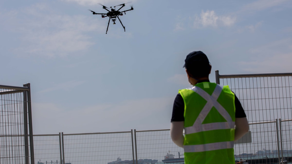
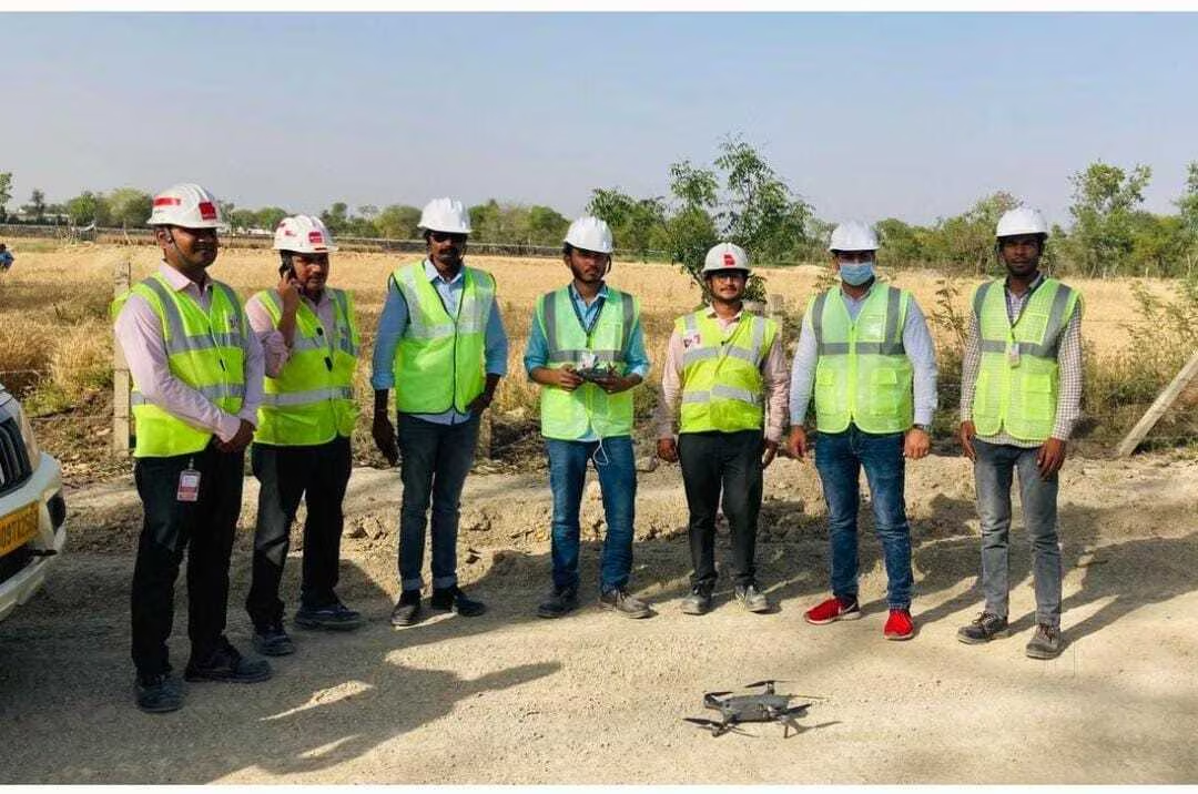
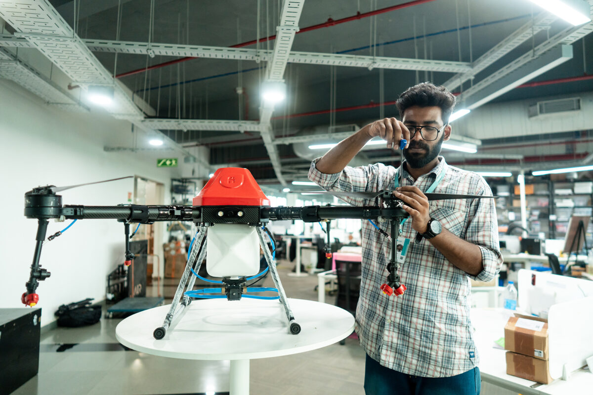
Discover Smarter, Safer, and Faster Solutions with
Yiba Drone Technology.

Drone Services in Agriculture Sector

India, with 55% of its workforce in agriculture, is a global leader in net cropped area and farm output. Yiba supports this vital sector with advanced drone solutions for smarter farming.

Drone Surveying & Mapping (2D/3D)

Yiba is a top drone service provider in India, offering accurate aerial data with DGCA-certified pilots across all terrains.

Drone Based Security Surveillance

Yiba offers drone surveillance for real-time, cost-effective monitoring of large or hard-to-reach areas—reducing manpower needs while enhancing security coverage.

Values

  • innovation

  • Collaboration

  • Safety

  • Integrity

  • Customer Focus

  • Sustainability

  • Excellence

Vision

To provide innovative and reliable drone solutions that enhance efficiency, accuracy, and safety across industries.

Aim

To be a global leader in drone technology, revolutionizing how the world captures data, monitors environments, and solves real-world challenges.

Where Innovation Meets the Sky

At Yiba, we’re committed to delivering cutting-edge drone solutions backed by deep industry expertise. From basic aerial surveys to advanced cinematography and inspection services, our operations combine precision, innovation, and real-world impact. Partner with us and take your business to new heights.

  • Industry-grade drone services led by DGCA-certified professionals

    Elevate your operations with our DGCA-certified drone services, ensuring compliance and excellence in every flight.

  • Fully authorized for commercial operations with Small and Medium Category Drones

    We hold the necessary authorizations to operate small and medium category drones, unlocking new possibilities in aerial technology.

Drone

Who We Are

At Yiba, we are more than just a drone services provider — we are innovators, problem-solvers, and enablers of transformation. Our passion lies in harnessing drone technology to unlock smarter, faster, and safer solutions for the world around us.

Our Identity
Yiba was founded to revolutionize aerial data and automation. Today, we’re one of India’s most trusted drone technology providers, delivering high-precision solutions across sectors like agriculture, construction, infrastructure, mining, security, and environmental monitoring.
Our People
At the heart of Yiba is a team of dedicated professionals — DGCA-certified drone pilots, data analysts, GIS experts, and industry specialists — who bring skill, experience, and passion to every mission. We operate with safety, compliance, and excellence as our core principles.
What Drives Us
We believe in the power of drones to reshape the way industries operate. From detailed aerial surveys to real-time surveillance and precision agriculture, our services are designed to add value, reduce risk, and optimize performance.
Our Approach
  • Client-Centered: Every project starts with understanding your goals and challenges.
  • Technology-Driven: We use the latest UAV systems, sensors, and data processing tools.
  • Results-Focused: We deliver actionable insights, not just raw data.
Our Commitment
  • Upholding the highest safety and regulatory standards
  • Delivering consistent, accurate, and timely results
  • Innovating continuously to stay ahead in drone applications
  • Building long-term relationships with trust and transparency

Ask Us Anything

What services does your company offer?

We provide a range of professional drone services including aerial photography and videography, surveying and mapping, infrastructure inspection, agricultural monitoring, thermal imaging, and drone data analysis. Custom solutions are also available based on project needs.

What industries do you serve?

Our drone solutions are tailored for construction, real estate, agriculture, energy, telecommunications, public safety, environmental monitoring, and media production, among others.

Where are your services available?

We operate across India and can also accommodate international projects depending on the scope and regulations. Contact us to check availability in your area.

What kind of drones do you use?

We utilize industry-grade drones equipped with high-resolution cameras, LiDAR sensors, thermal imaging, and multispectral sensors to meet various project requirements.

Are your drones safe and compliant with aviation laws?

Yes. All our drone operations comply with national and local aviation regulations. Our pilots are certified and our fleet is regularly maintained and registered as required by law.

Can your drones operate in bad weather?

While many of our drones are weather-resistant, operations are typically limited during heavy rain, high winds, or poor visibility for safety reasons. We will work with you to schedule flights during optimal conditions.

How do I request a drone service?

You can request a service by filling out our website, calling us directly, or emailing our team. We'll follow up to discuss your project in detail.

How much do your services cost?

Pricing depends on the type of service, location, equipment required, and project duration. Contact us for a custom quote tailored to your specific needs.

How long does a typical drone project take?

Project timelines vary depending on scope and complexity. Aerial imaging may be completed in a few hours, while mapping or inspection projects may require multiple days for data collection and processing.

What kind of deliverables can I expect?

Depending on the service, you’ll receive high-resolution images, 4K+ videos, orthomosaic maps, 3D models, point clouds, thermal imagery, and detailed analytical reports in formats compatible with your workflow.

Is my data secure and confidential?

Absolutely. We prioritize data privacy and offer non-disclosure agreements (NDAs) when required. Your project data is stored securely and only accessible to authorized personnel.

Are your drone pilots licensed?

Yes, all our pilots are licensed and insured professionals trained to handle complex flight operations and data acquisition tasks.

Do you carry liability insurance?

Yes, we carry comprehensive liability insurance that covers potential damages or incidents during drone operations.

Do you offer drone training or consulting?

Yes, we offer training programs for individuals and organizations looking to build in-house drone capabilities, as well as consulting on drone program development, compliance, and workflow optimization.

How do I contact support if I have an issue or question?

You can reach our support team via phone, email, or live chat during business hours. Visit our [Contact Page] for more information.