Surveying and Mapping(2D/3D)
Drone-Based Surveying & Data Interpretation
Learn how to use drones for accurate aerial surveying and turn raw flight data into meaningful insights. This course teaches flight planning, image capture, mapping techniques, and data analysis using industry tools—perfect for careers in construction, agriculture, mining, and environmental monitoring.
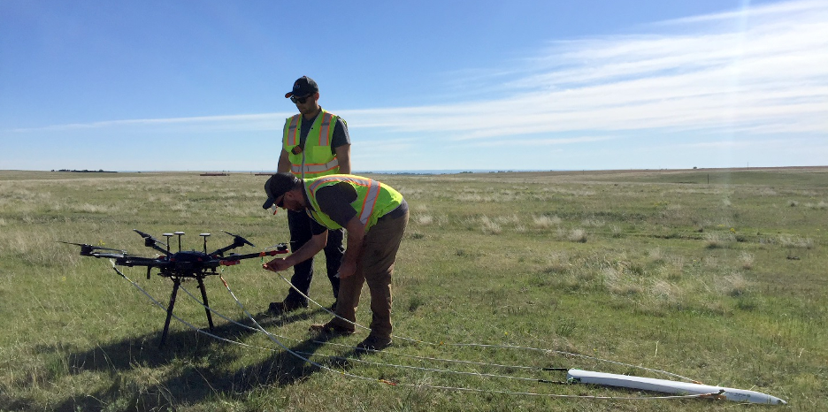
Drone infrastructure provided by Yiba Drone Academy for efficient drone-based data acquisition.
- Yiba Drone Academy’s drone infrastructure features cutting-edge UAV systems designed for high-precision data acquisition...
- In addition, the infrastructure includes Small-category survey-grade drones...
- Yiba Drone Academy's expert team has successfully executed thousands of UAV missions...
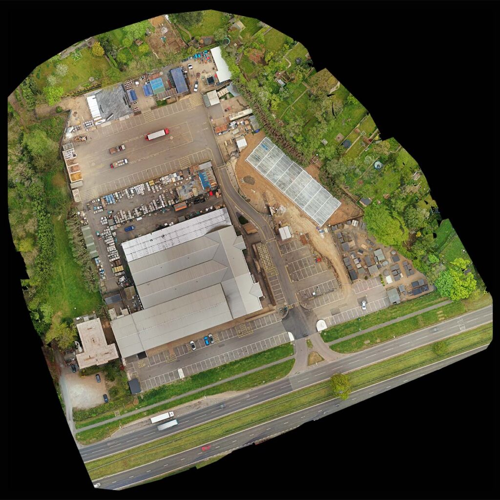
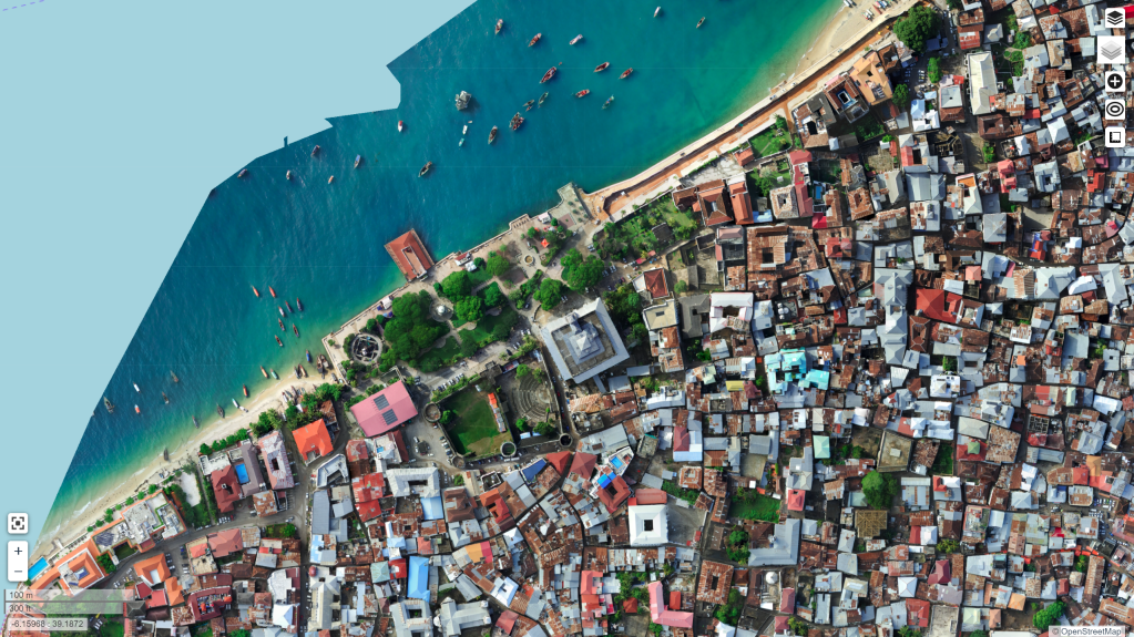
Generation of ORI, 3D point clouds, DEM, DTM, and DSM through drone data processing.
During drone-based surveys, aerial images of the ground are captured from multiple angles...
a. Georeferenced Aerial Image -
Drone imagery is processed using advanced photogrammetry software such as Agisoft Metashape...
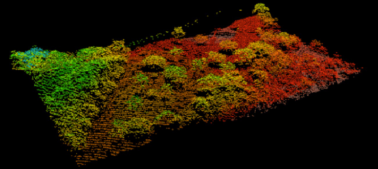
b. 3D spatial data -
The generated 3D point cloud can be utilized to create detailed 3D textured models...
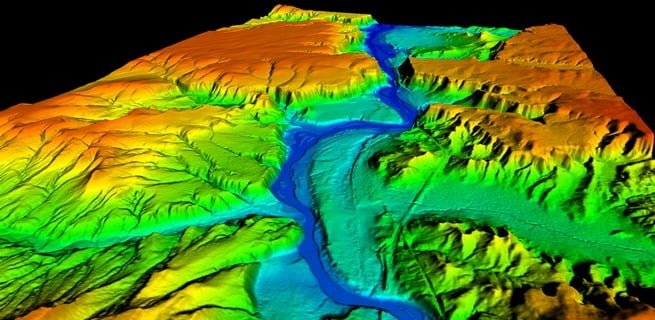
c. Digital Surface Representation (DSM), Elevation Data Model (DEM), and Bare-Earth Terrain Model (DTM) -
Yiba Drone Academy processes 3D point cloud data to create DEM, DTM, and DSM, supporting applications across mining...
d. Topographic Maps -
This data is valuable for site selection, analyzing terrain slopes, identifying drainage basin catchment areas...
Yiba Drone Academy has successfully executed numerous drone data acquisition and processing projects...
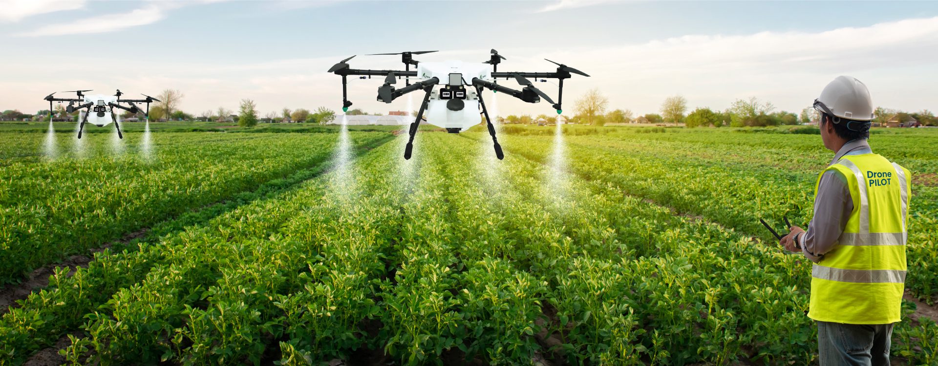
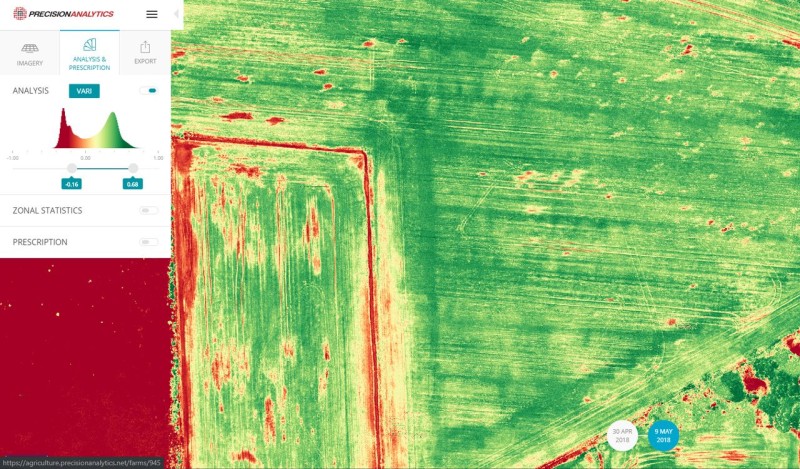
UAV-Enabled Multispectral Analysis in Precision Agriculture
Yiba Drone Academy has executed several multispectral drone imaging projects in agriculture...
RGB image data acquired through drone-based surveys
RGB sensors on drones capture images by blending red, green, and blue light at different intensities...
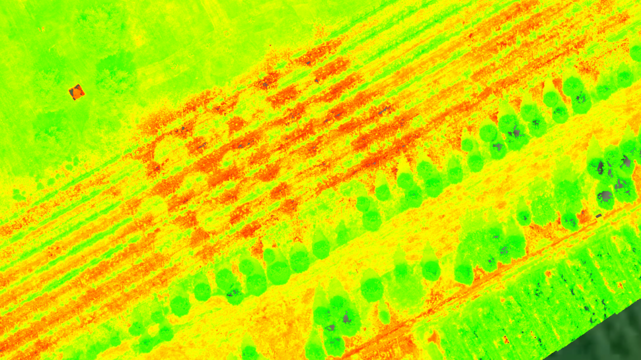
NDVI analysis using drone-captured data
The Normalized Difference Vegetation Index (NDVI) is a key metric used to assess the health and density of vegetation...
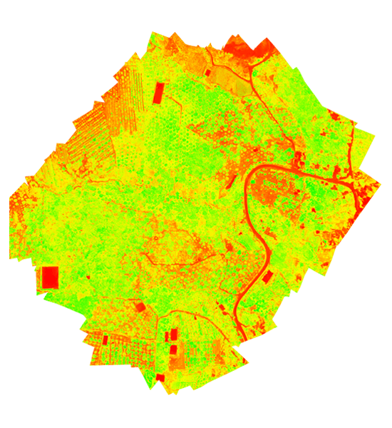
NDRE analysis using drone-captured data
The Normalized Difference Red Edge Index (NDRE) is used to measure chlorophyll levels in plants...
GNDVI assessment using UAV-acquired data
The Green Normalized Difference Vegetation Index (GNDVI) is a widely used vegetation index...