Mine Site Survey
YIBA Drone Technologies delivers fast, accurate, and safe mine site survey solutions using advanced drone technology. Our aerial surveys help mining companies improve planning, track progress, and manage safety with data-driven insights.
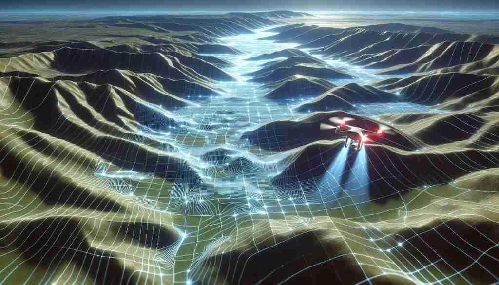
High-Resolution Topographic Mapping
Create accurate 2D maps and 3D models of open-pit and underground mine sites. Capture detailed terrain data for planning and design
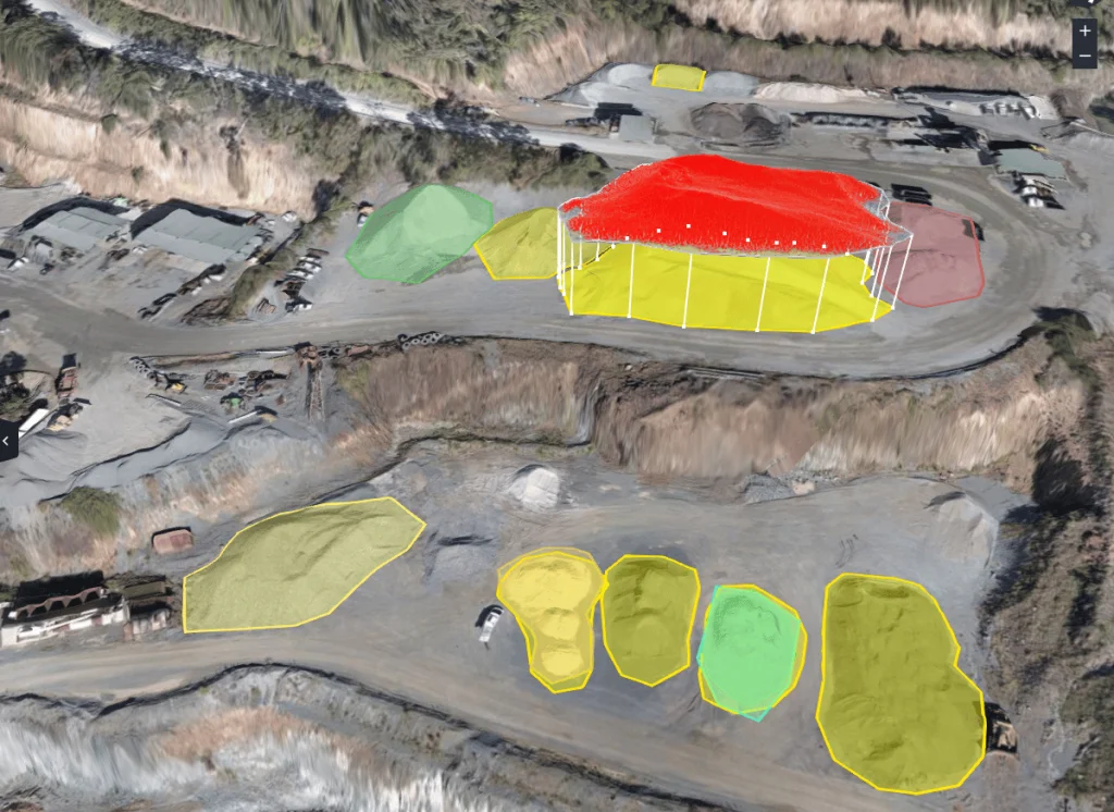
Volumetric Analysis
Measure stockpile volumes, cut/fill calculations, and material movement. Support production tracking and inventory control with precision
Progress Monitoring
Perform regular flyovers to document site changes over time.Provide visual updates to management, stakeholders, or regulators
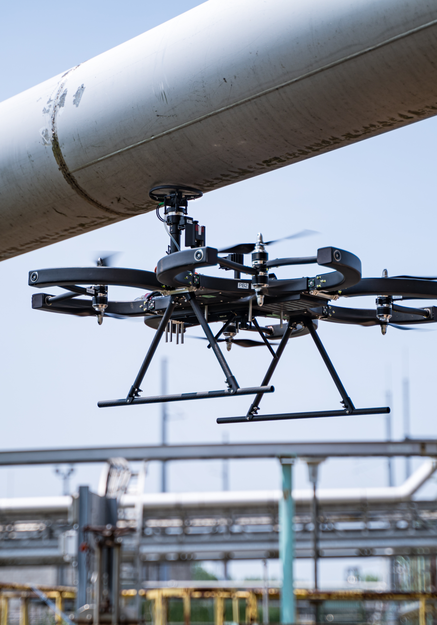
Safety and Compliance Checks
Inspect hazardous zones without endangering personnel. Document site conditions for environmental and safety audits