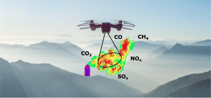
Wildlife and Habitat Assessment
YIBA Drone Technologies provides cutting-edge wildlife and habitat assessment services using advanced drone systems equipped with high-resolution cameras, thermal sensors, and GIS mapping tools. Our drone-based surveys enable researchers, conservationists, and environmental agencies to monitor ecosystems more safely, efficiently, and accurately than traditional methods.
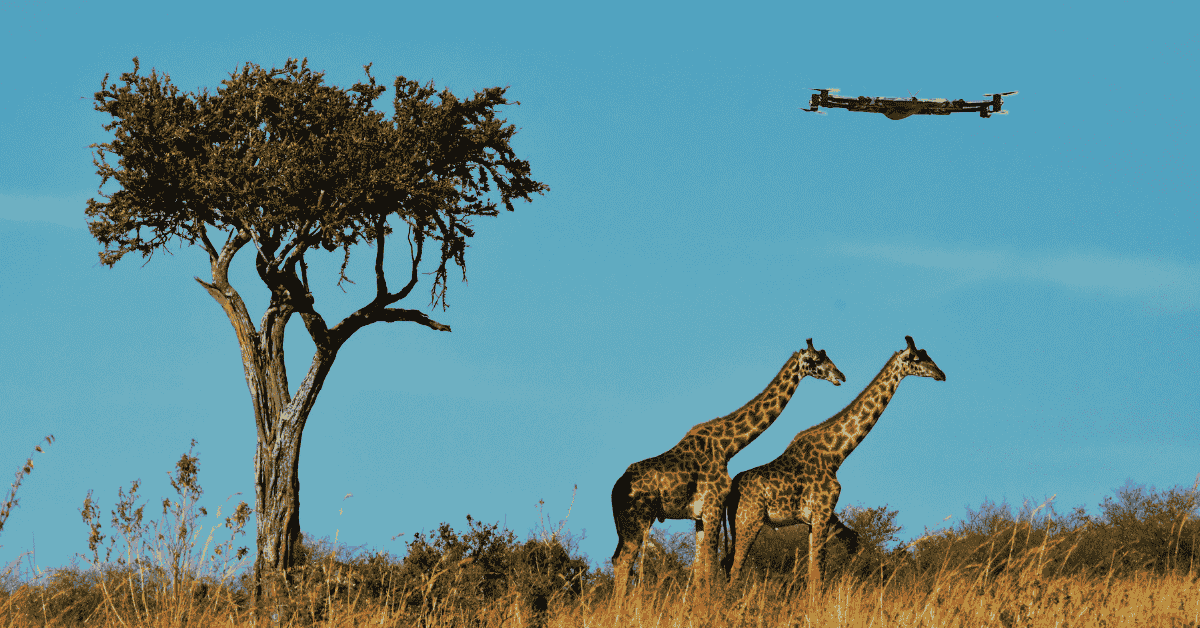
Wildlife Monitoring
Track animal movement, identify species, and conduct population counts using aerial imaging and thermal detection—minimizing human interference.
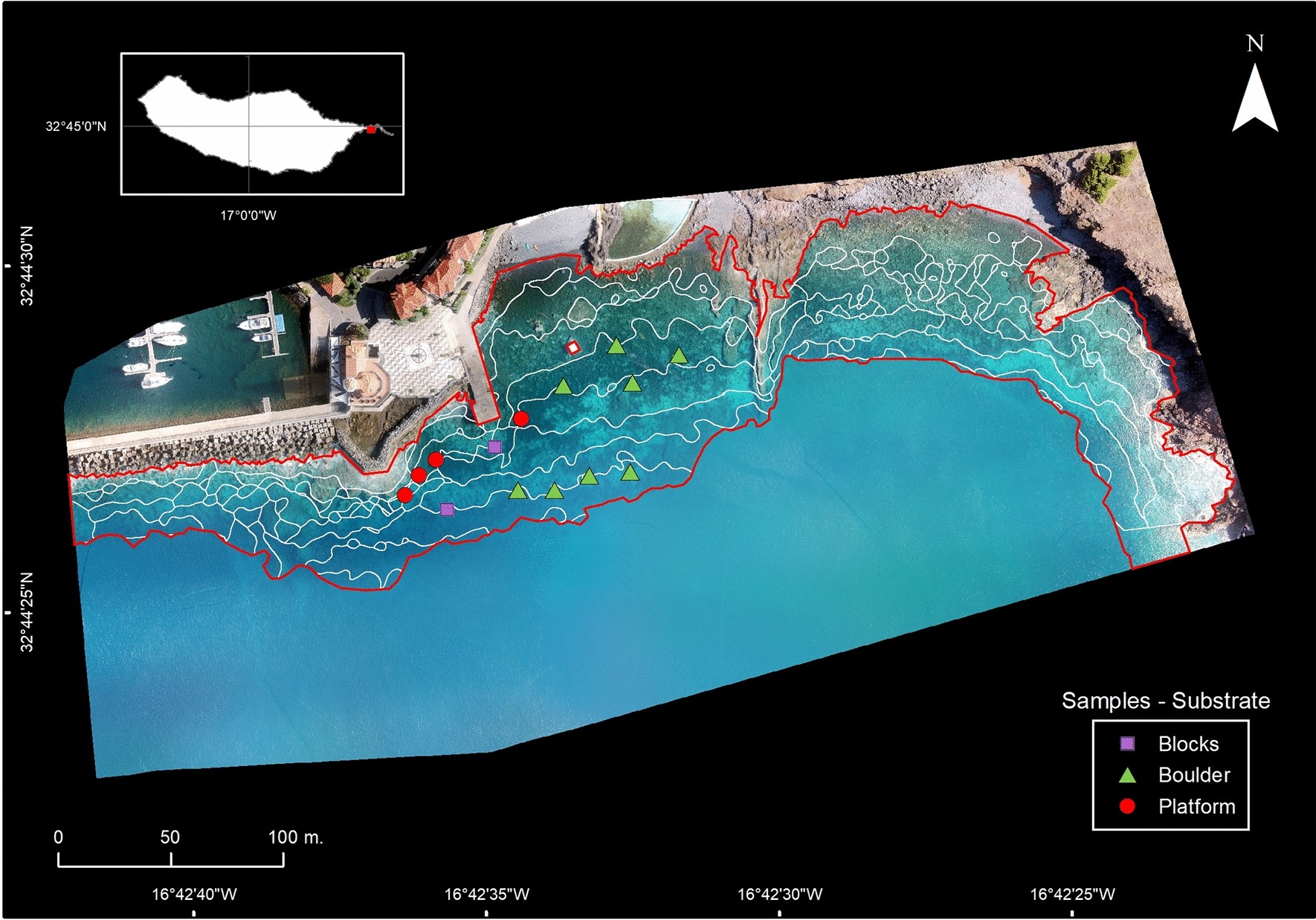
Habitat Mapping & Analysis
Capture detailed imagery and generate 2D/3D habitat maps, enabling clear insights into vegetation types, land use, water sources, and environmental changes.
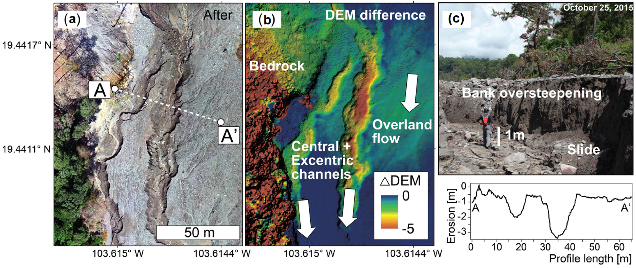
Ecological Change Detection
Monitor deforestation, erosion, seasonal migration, and invasive species over time through repeat drone missions and data comparison.
Environmental Compliance & Impact Studies
Support environmental impact assessments (EIAs), conservation planning, and biodiversity projects with fast, reliable aerial data.