Engineering Infrastructure Audit
At Yiba Drone Technologies, we provide high-resolution, drone-based infrastructure audits that empower engineers, project managers, and government agencies to inspect, assess, and manage critical infrastructure with precision, safety, and speed.
Our Engineering Infrastructure Audit solutions combine advanced aerial imaging, LiDAR, and AI analytics to deliver detailed visual and structural insights—reducing risk, cost, and downtime.
Bridges & Overpasses
Detect cracks, corrosion, and structural deformation in hard-to-reach areas without disrupting traffic or requiring scaffolding.
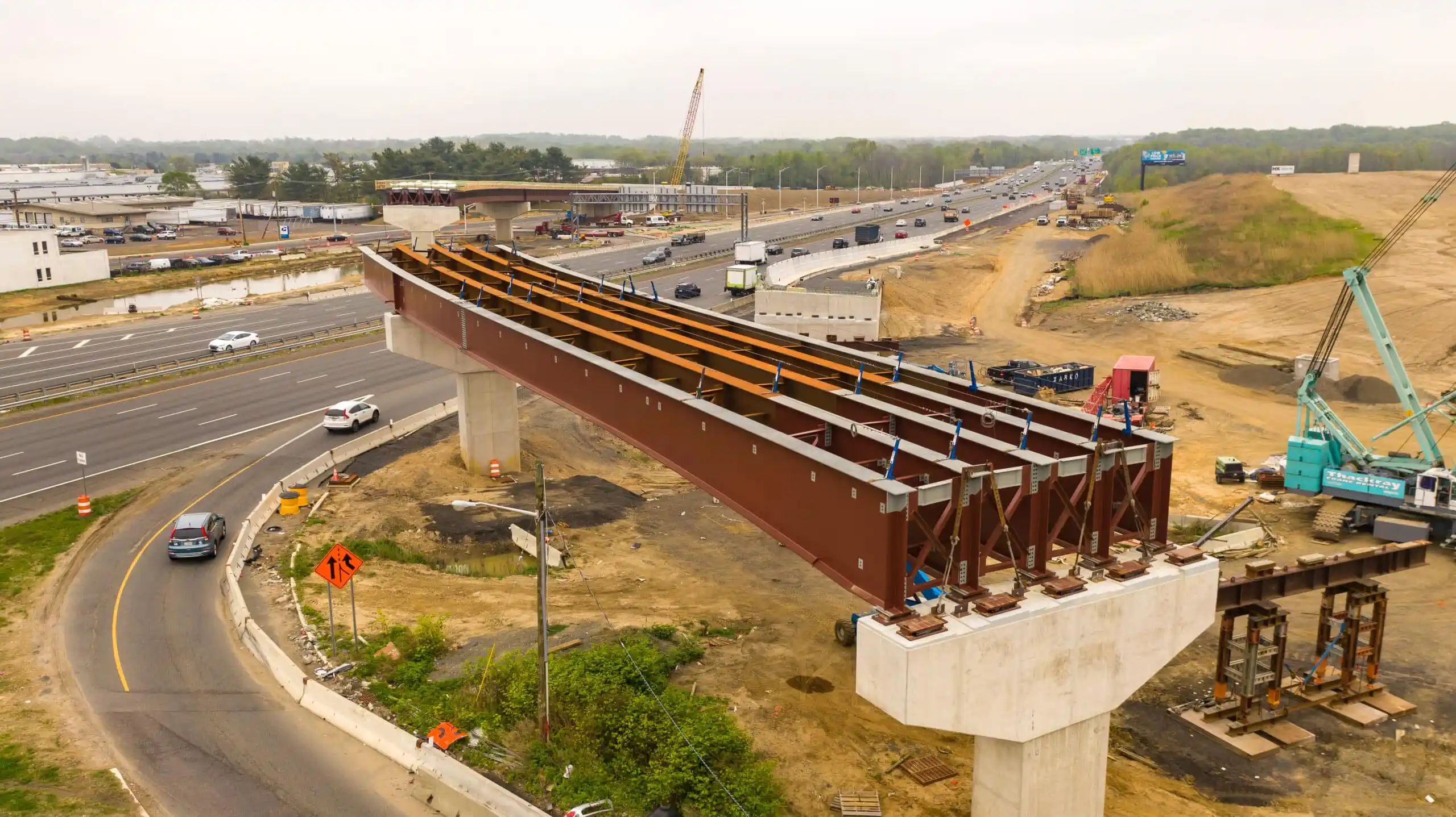
Road Networks & Highways
Monitor road surface conditions, erosion, and construction quality with centimeter-level accuracy using photogrammetry and geotagged imagery.
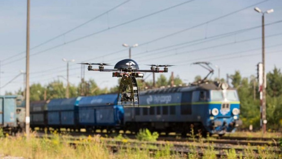
Railways & Transit Systems
Inspect tracks, embankments, tunnels, and overhead lines efficiently and safely, even in challenging terrain.
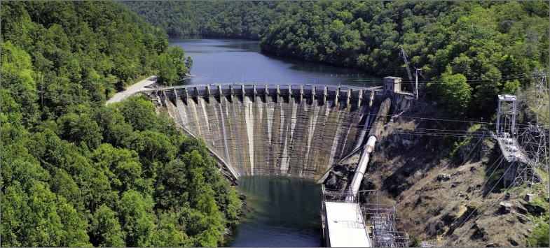
Dams, Waterways & Irrigation Systems
Assess integrity, leak risks, and sediment buildup using aerial thermal imaging and 3D modeling for proactive water infrastructure maintenance.
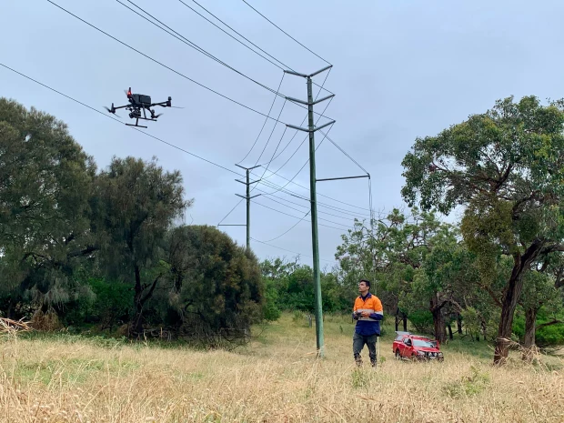
Power Lines & Energy Infrastructure
Audit power grids, transmission towers, and solar or wind farms with thermal sensors and anomaly detection to minimize failure risks.